November 2, 2017
8 min read
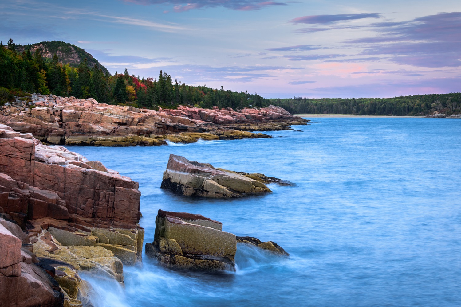
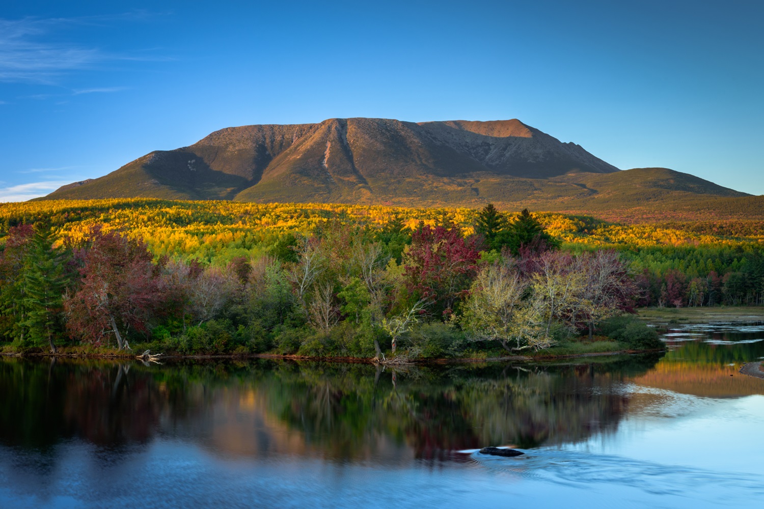
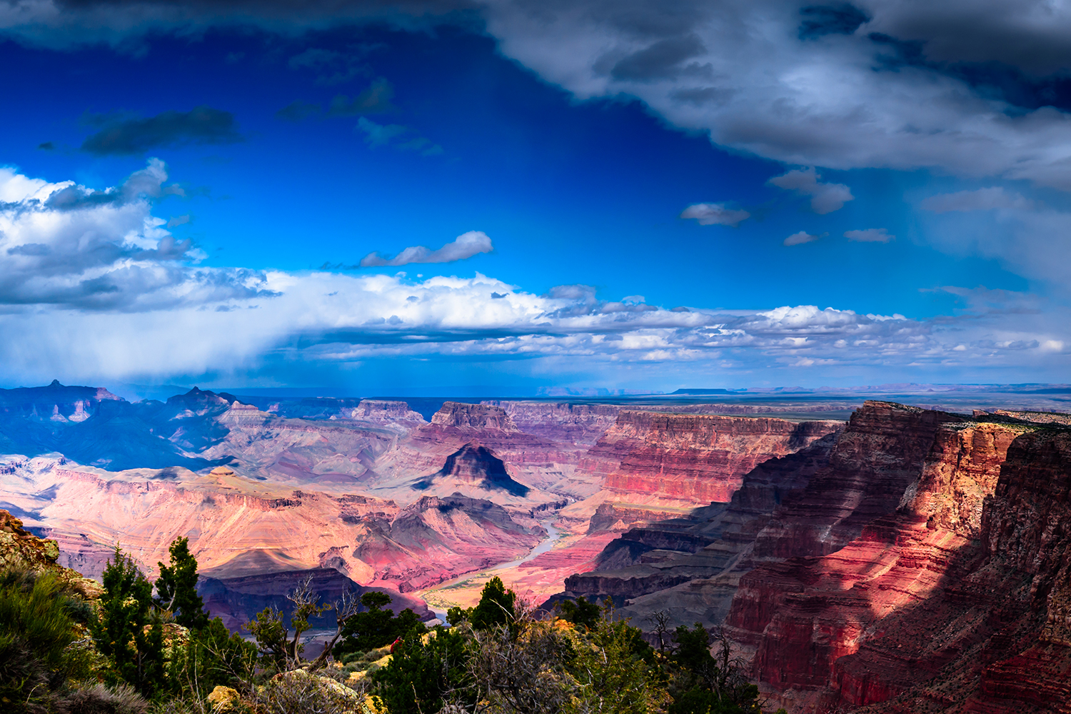
Acadia National Park October 2017
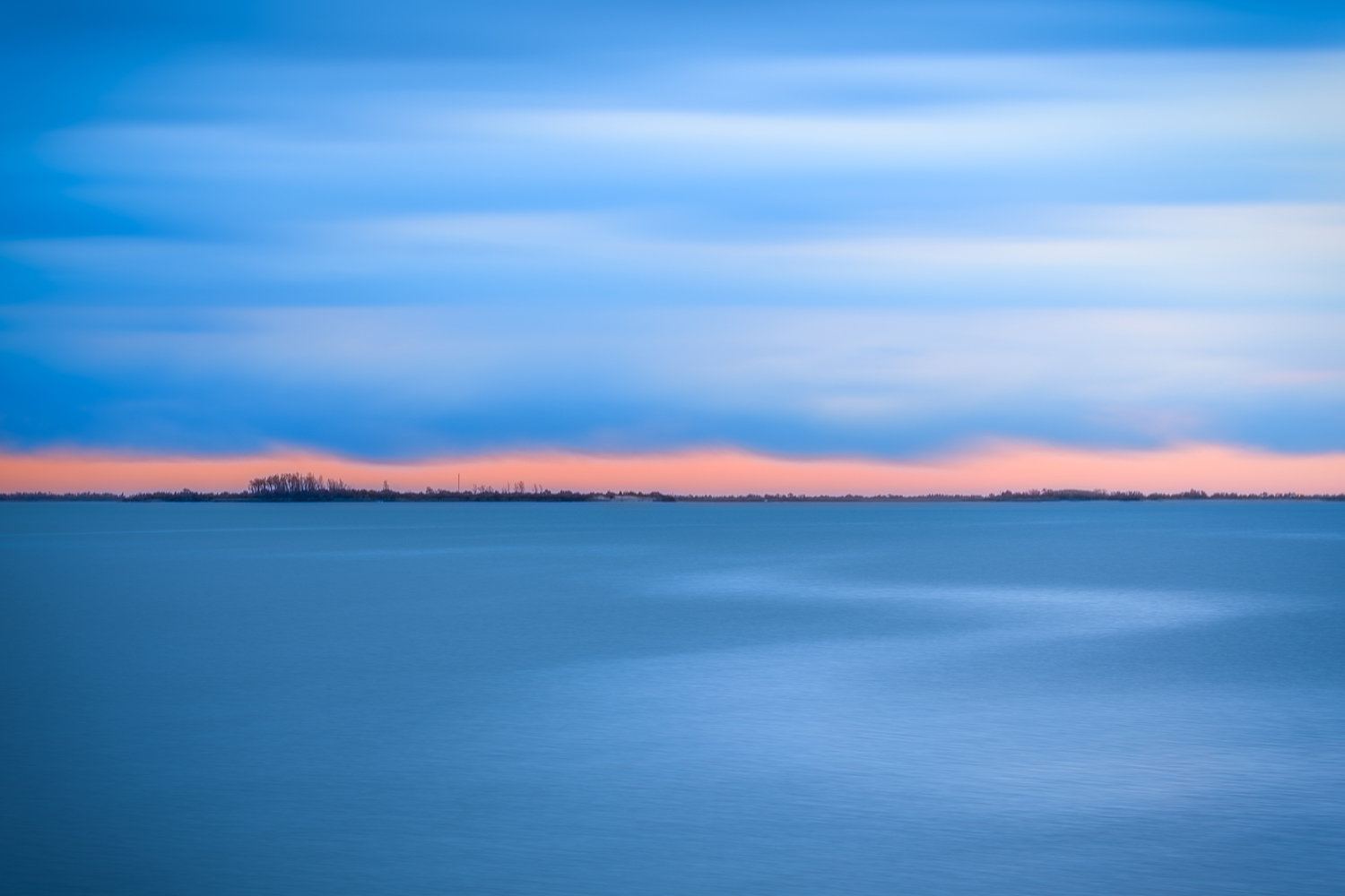
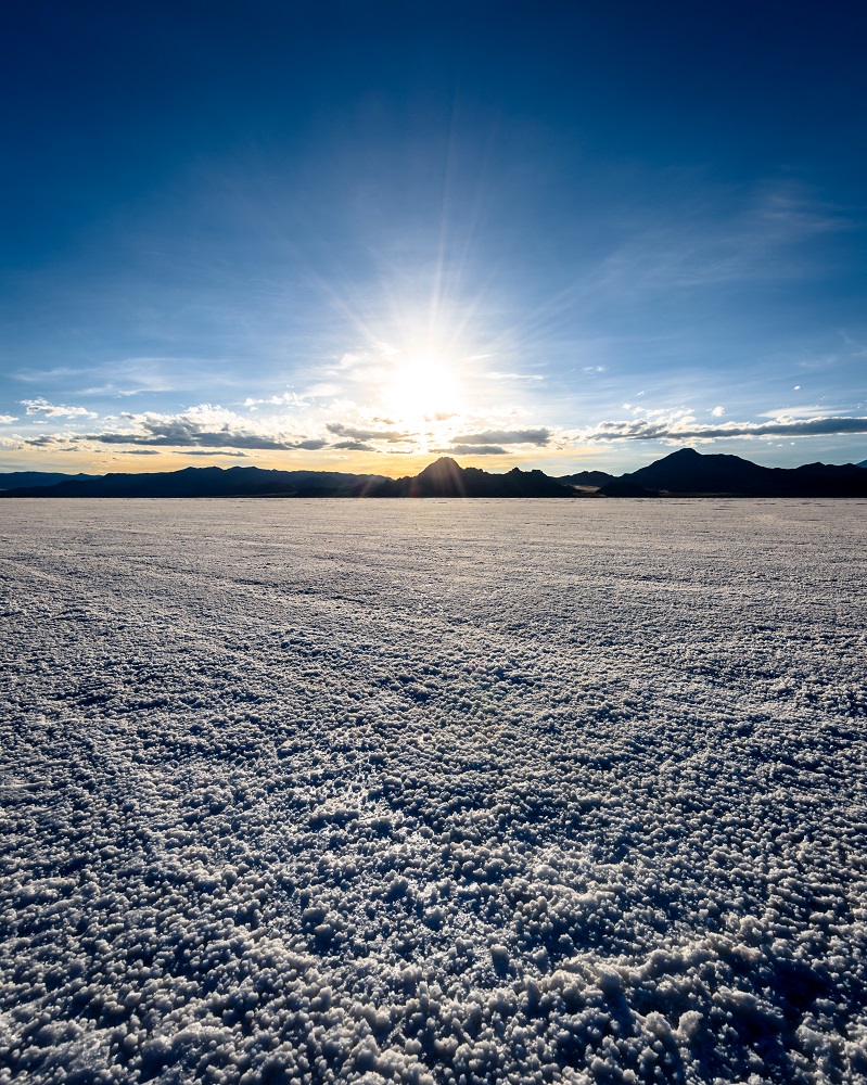
I meant to write this a few weeks ago, but I didn't. This is my trip to Acadia National Park last month. I had just spent the previous day in Baxter State Park (Maine) and was now on my way to Acadia. I've wanted to go here for a while and it's really not too far from my home in New York. It was about an hour drive from Bangor where I spent the previous night, I left in the mid morning and got there with plenty of time to do some exploring. I wanted to find a good place to come back for sunset, and I figured I'd want that spot to be on the water, so my first real stop was around Otter Point (I think that's what it's called, possibly Boulder Beach). I loved the look of the granite rocks going into the ocean with the hills and forests climbing out on top of them. I spent an hour or so climbing around until I found a view that I really liked. Of course it was on top of a slightly more difficult to get to rock, but I made it up without falling the 20 or so feet down into the ocean. I wandered around the park for the rest of the day walking through forests of birch trees and the gardens and stuff, it was all really beautiful but I was set on Otter Point for sunset. I went back leaving enough time to find another spot if I had to (I figured it would be a busy spot at that time). Surprisingly when I got there I was almost alone. I think I saw a total of 3 other people around those rocks for the next hour that I was there. I don't mind people being around me but one of my favorite things about taking landscape photos is being alone in nature. It's really peaceful and clears my head, which is the main reason I do it. Still, I didn't expect to be alone here I just really wanted the shot. I climbed up to the rock I had scouted earlier, having a little more anxiety getting back up but kind of throwing myself up the rock face did the trick. Below is my selfie from the rock and above is the image I took (from the other direction).
Read More